-
 project
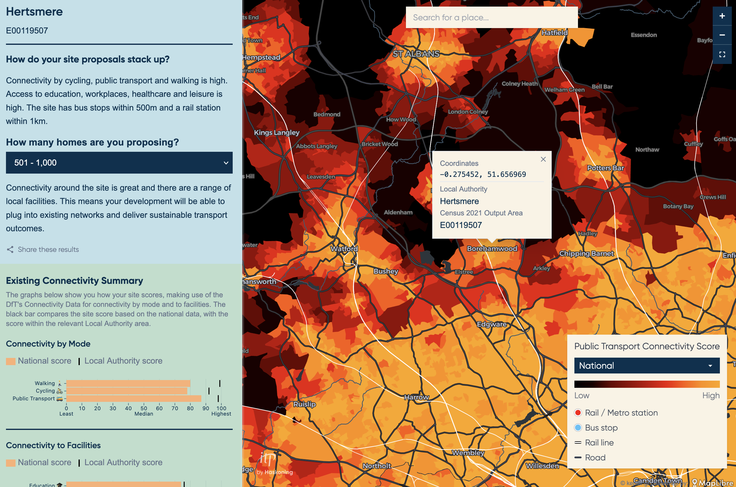
ITP Placemaking Tool (2026)
DFT Connectivity Score Explorer
project
ITP Placemaking Tool (2026)
DFT Connectivity Score Explorer
-
 project
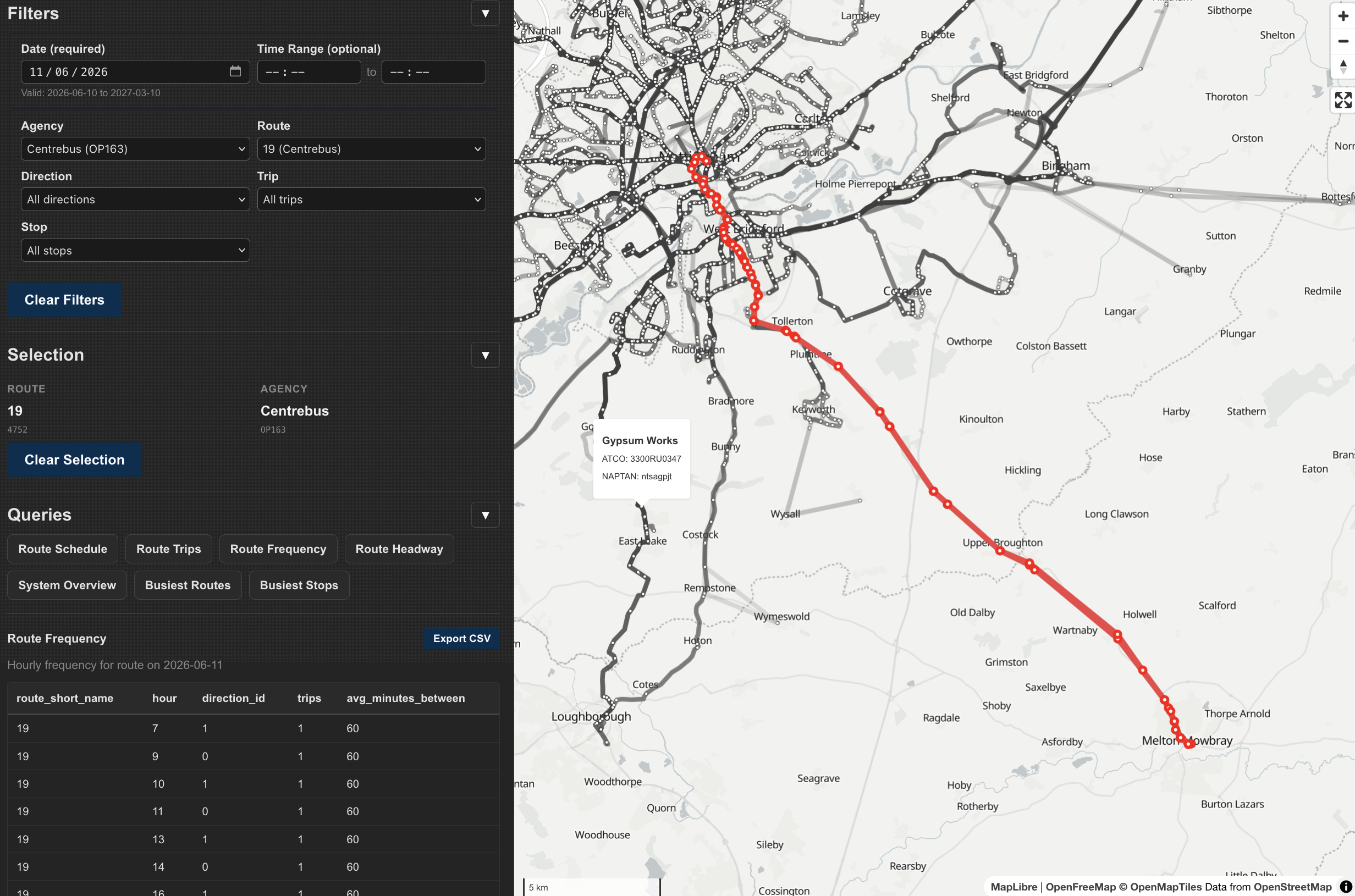
BODSy (2026)
Bus Open Data Service data explorer
project
BODSy (2026)
Bus Open Data Service data explorer
-
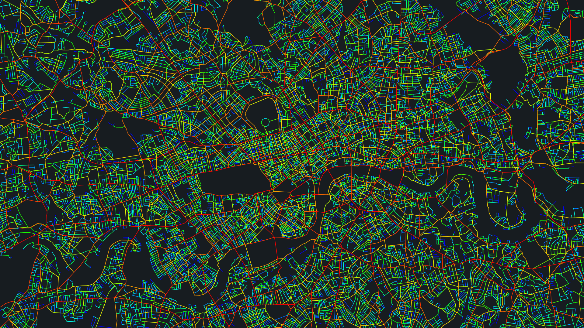
 project
Balance of London (2025)
Understanding the relationship between places and movement
project
Balance of London (2025)
Understanding the relationship between places and movement
-
 project
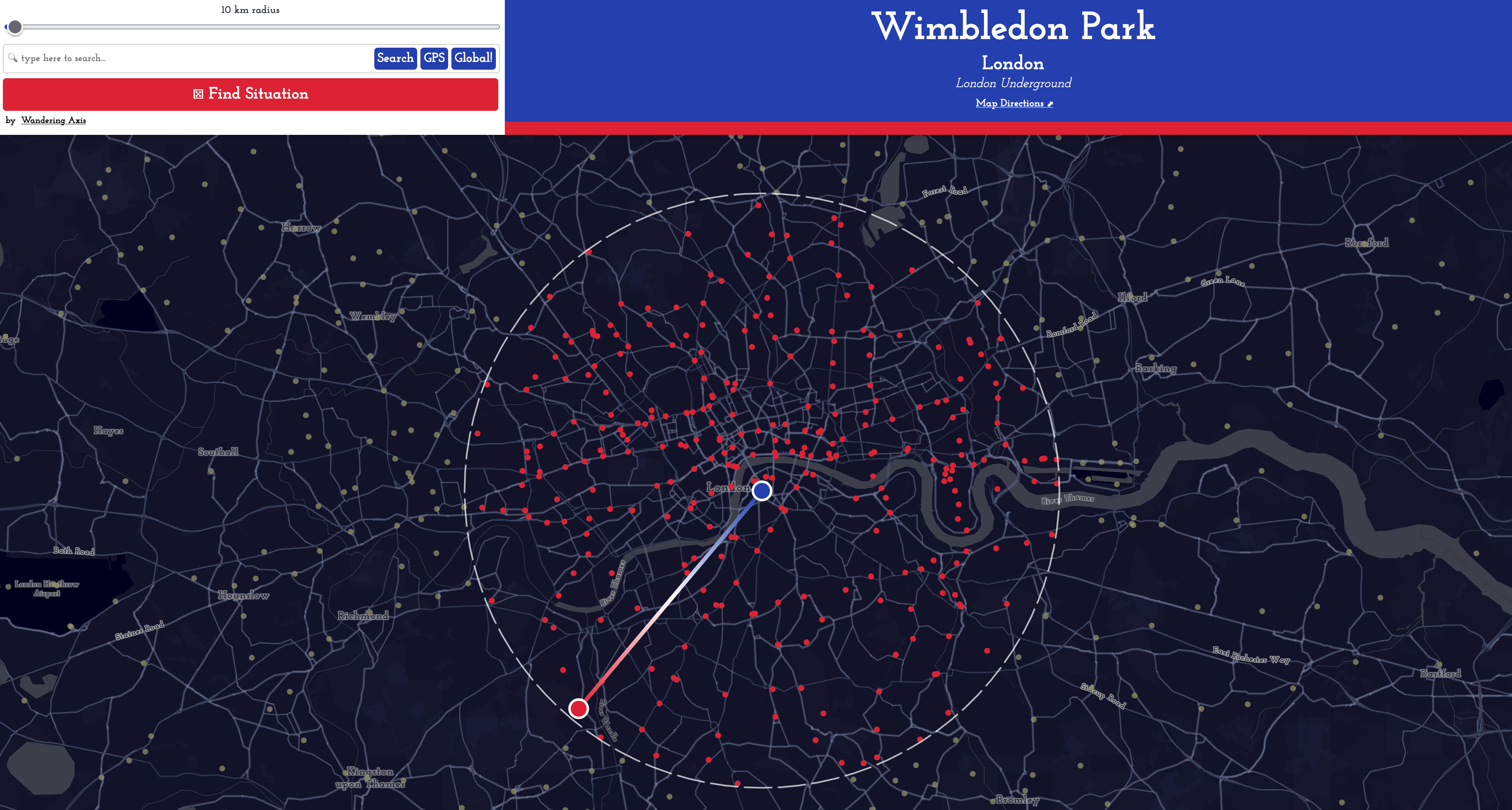
situate.space (2023)
Choose a station for a new situation!
project
situate.space (2023)
Choose a station for a new situation!
-
 project
Space Syntax OpenMapping GB (2023)
Open Source Spatial Accessibility Map
project
Space Syntax OpenMapping GB (2023)
Open Source Spatial Accessibility Map
-
 article
Normalising bounded graph measures (2018)
Creating scale free local network analysis
article
Normalising bounded graph measures (2018)
Creating scale free local network analysis
-
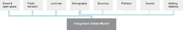 article
Integrated Urban Modelling Framework (2017)
Space Syntax Symposium Paper
article
Integrated Urban Modelling Framework (2017)
Space Syntax Symposium Paper
-
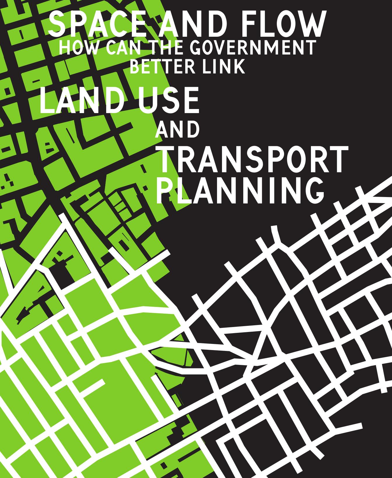 article
Space and Flow (2014)
How to integrate Landuse and Transport planning in the UK: TPS Paper
article
Space and Flow (2014)
How to integrate Landuse and Transport planning in the UK: TPS Paper